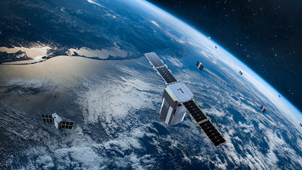
In the intricate web of Earth’s ecosystems, water plays a pivotal role, sustaining life and shaping landscapes. For water managers tasked with stewarding this precious resource, access to accurate and timely data is paramount. Satellites orbiting the Earth offer a wealth of information about our planet’s water bodies, yet harnessing this data to its full potential presents a formidable challenge. Now, a team of computer scientists at Utah State University USU has devised a groundbreaking solution to bridge the gap between satellite data and actionable insights, offering a promising avenue for enhancing water resource management worldwide.
Led by doctoral student Pouya Hosseinzadeh and assisted by faculty mentor Soukaina Filali Boubrahimi, the researchers have developed a novel machine learning model known as Hydro-GAN—Hydrological Generative Adversarial Network. This innovative approach aims to integrate data from satellites with varying spatial and temporal resolutions, providing water managers with a more comprehensive and accurate understanding of water dynamics.
The motivation behind Hydro-GAN stems from the inherent limitations of existing data fusion methods, which are often sensitive to atmospheric disturbances and other environmental factors, leading to noise and missing data. By leveraging the power of machine learning, Hydro-GAN seeks to overcome these challenges by mapping low-resolution satellite data to high-resolution counterparts, thereby enhancing the resolution of water boundary shapes and improving the accuracy of predictions.
At the heart of Hydro-GAN lies a sophisticated algorithm that harnesses the combined capabilities of two key satellite instruments—MODIS and Landsat 8. These instruments offer complementary data with varied spatial and temporal resolutions, providing a holistic view of water bodies on Earth. By integrating data from these sources, Hydro-GAN generates new data samples that enhance the resolution of water boundaries, enabling more precise monitoring of changes over time.
To demonstrate the effectiveness of Hydro-GAN, the researchers conducted a case study focused on Lake Tharthar, a saltwater lake in Iraq facing similar climate and usage pressures as the Great Salt Lake in the United States. Leveraging seven years of satellite data, the team evaluated Hydro-GAN’s ability to predict the lake’s shrinking and expansion behaviors, providing valuable insights for hydrologists and environmental scientists tasked with managing the lake’s water supply.
The results of the study highlight Hydro-GAN’s potential as a valuable tool for water managers, offering enhanced capabilities for monitoring seasonal dynamics and making informed decisions about water resource management. Furthermore, the researchers envision expanding the application of Hydro-GAN to incorporate additional data modalities, including information about topology, snow data amounts, streamflow, and climate variables, thereby further enriching the insights available to water managers.
As Pouya Hosseinzadeh presents the research at USU’s 2024 Spring Runoff Conference, the significance of Hydro-GAN in advancing water resource management cannot be overstated. By harnessing the synergy between satellite data and machine learning, Hydro-GAN opens new frontiers in our quest to safeguard Earth’s precious water resources, paving the way for a more sustainable and resilient future.
